Location Map
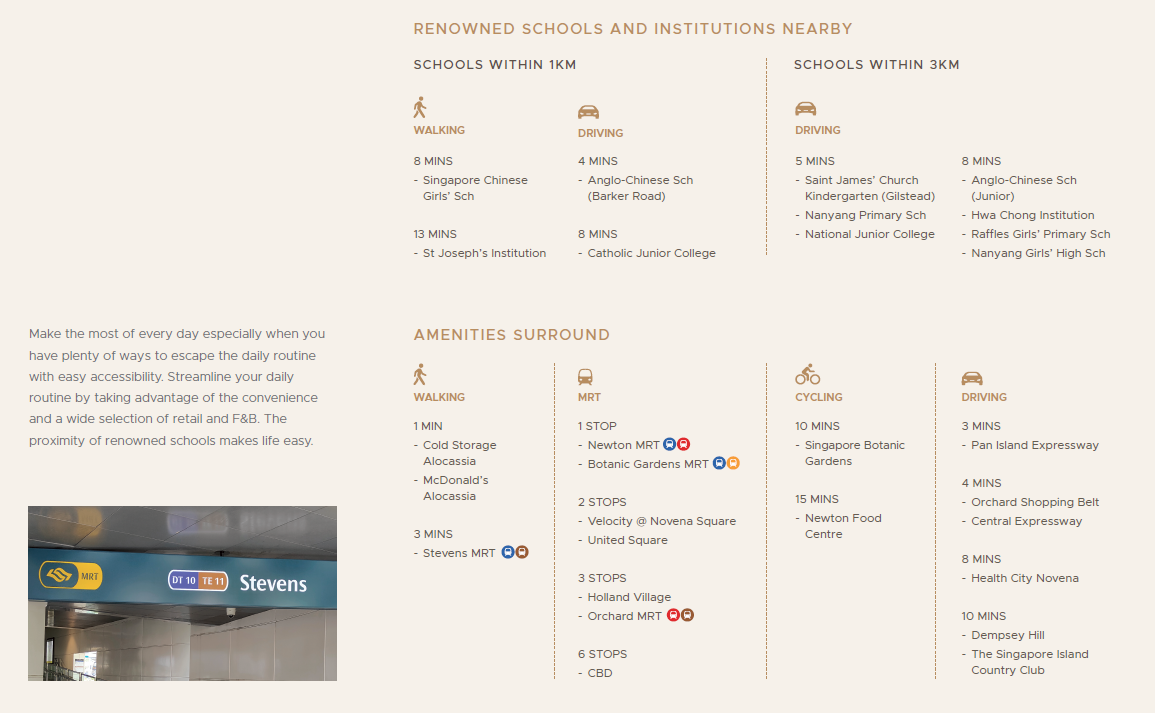
Nearby Places
Primary Schools
Secondary Schools
MRT Stations
Nearest Hospitals & Clinics
Parks & Recreation
Supermarkets
CALL Me NOW
About Us:
This website, with authorisation, belongs to Homer Lau (JJ Homer Huttons) , a real estate salesperson from Huttons Asia Pte Ltd, the Marketing Agency for this development. We strive to provide you with the best real estate solutions, guide you through every step of the home-buying journey and share property portfolio strategies.
Address: 3 Bishan Place, CPF Bishan Building #05-01 Singapore 579838
Contact: +65 92969868 / +65 96418645
CEA No.: R066309A
Huttons Asia Pte Ltd - License No.: L3008899K | Homer - CEA No.: R066309A
Privacy policy: https://www.huttonsgroup.com/privacy-policy/
https://agents.huttonsgroup.com/r066309a/
https://www.huttonsgroup.com/r066309a/reviews/
https://www.propertyguru.com.sg/agent/homer-lau-15336346
Disclaimer: While reasonable care has been taken in preparing this website, neither the developer nor its appointed agents guarantee the accuracy of the information provided. To the fullest extent permitted by law, the information, statements, and representations on this website should not be considered factual representations, offers, or warranties (explicit or implied) by the developer or its agents. They are not intended to form any part of a contract for the sale of housing units. Please note that visual elements such as images and drawings are artists’ impressions and not factual depictions. The brand, color, and model of all materials, fittings, equipment, finishes, installations, and appliances are subject to the developer’s architect’s selection, market availability, and the developer’s sole discretion. All information on this website is accurate at the time of publication but may change as required by relevant authorities or the developer. The floor areas mentioned are approximate and subject to final survey.